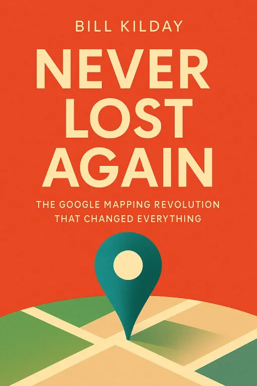
Never Lost Again
9 minThe Google Mapping Revolution That Changed Everything
Introduction
Narrator: Imagine being hopelessly lost. It’s a cold winter night in Boston in the early 2000s, the streets are a confusing maze, and your only navigation tool is a worn-out paper map. This was the frustrating reality for Bill Kilday, who found himself driving in circles, unable to find his way home from a basketball game. This common, infuriating experience of being lost was a fundamental part of the human condition for millennia. Yet, just a few years later, a technological revolution would make this feeling almost obsolete. We are the last generation to truly know what it was like to be lost.
In his book, Never Lost Again, Bill Kilday provides an insider's account of this revolution. He tells the improbable story of Keyhole, a scrappy, underfunded startup with a vision so audacious it was almost unbelievable: to create a seamless, 3D digital model of the entire planet. This is the story of how that wild idea survived near-failure, caught the eye of Google, and ultimately became the foundation for Google Maps and Google Earth, changing not just how we navigate, but how we perceive the world itself.
From Lost to 'Superman': The Unlikely Origins of a Digital Earth
Key Insight 1
Narrator: The journey to Google Maps began not at Google, but with a small startup named Keyhole. Founded by John Hanke, Keyhole was built on a revolutionary graphics technology called "clipmapping," developed by engineers from the failing tech giant Silicon Graphics. Their goal was to bring the concept from the film Powers of Ten to life—the ability to zoom from outer space down to any street on Earth.
In 1999, Hanke showed an early demo to his friend, author Bill Kilday. On a massive server, Hanke typed in Kilday’s address, and the screen flew from a view of the Earth in space, through the atmosphere, and down to a crystal-clear aerial image of Kilday’s own house. Kilday was awestruck, calling it the "Superman thing." But his fiancée asked a crucial question: "But what do you do with it?" This question haunted Keyhole. The technology was magical, but its practical application and business model were unclear. Compounding the problem, the dot-com bubble was bursting, and investors were no longer funding cool ideas without a clear path to revenue. Keyhole had a revolutionary product but was launching at the worst possible time.
Survival on the Brink: How War Coverage Saved a Failing Startup
Key Insight 2
Narrator: By 2002, Keyhole was on the verge of collapse. The company was burning through cash, and Hanke was forced to take extreme measures to survive, including taking a pay cut and negotiating deals even during his father's funeral. The company pivoted from a consumer model to an enterprise one, finding a niche market with commercial real estate brokers who were amazed by the ability to visualize properties. But it wasn't enough.
The turning point came from an unexpected source: the 2003 U.S. invasion of Iraq. CNN signed a small deal to use Keyhole's EarthViewer software for on-air map animations. However, reporter Miles O'Brien decided to use the software live, creating dynamic, flying "bomb's-eye view" shots of Baghdad. The effect was revolutionary for television news. Crucially, John Hanke had negotiated for Keyhole's URL to be displayed on-screen. The exposure was immediate and overwhelming. Keyhole's servers crashed from the sudden traffic, but the company was saved. The visibility led to a contract with In-Q-Tel, the CIA's venture capital arm, which provided the financial stability Keyhole desperately needed and shifted its focus toward government and military clients.
The 'Series G' Acquisition: When Google Came Calling
Key Insight 3
Narrator: By 2004, Keyhole was stable but still a small player. They were on the verge of accepting a Series B funding round when a call came from Google. The interest was sparked by pure chance. Google co-founder Sergey Brin had been shown EarthViewer and was so captivated that he interrupted a high-level product meeting to demo it for other executives. He flew around the globe, zooming in on their houses, and the room was mesmerized. Brin’s verdict was simple: "We should buy this company."
The acquisition, which the Keyhole team jokingly called their "Series G" for Google, was not straightforward. It was nearly derailed by a last-minute patent lawsuit from a competitor. But Google was determined. John Hanke’s one non-negotiable condition was that Google had to hire his entire twenty-nine-person team. Google agreed, and the scrappy startup was suddenly integrated into a tech behemoth. The team experienced immediate culture shock, moving from a frugal office to the lavish Googleplex, where free food, high-end tech, and a "think bigger" mentality were the norm.
Unleashing the Platform: How an Open API Sparked a New Industry
Key Insight 4
Narrator: Once inside Google, the Keyhole team was merged with another small acquisition, a team of Australian brothers from a company called Where 2 Tech, who had developed the core technology for a web-based map. Together, they launched Google Maps in 2005. While the initial launch was successful, the real explosion in popularity came with the addition of Keyhole's satellite imagery.
The most transformative decision, however, was to release a free Application Programming Interface, or API. This allowed any developer to embed Google Maps on their own website and overlay their own data. The move was inspired by a developer named Paul Rademacher, who had reverse-engineered the code to create HousingMaps.com, a mashup of Craigslist apartment listings and Google Maps. Rather than shut him down, Google hired him and embraced the mashup culture. The free API sparked a new industry of location-based services. Companies like Yelp, Zillow, and later Uber, were all built on the foundation of Google's free, accessible map of the world.
Project Ground Truth: The Billion-Dollar Bet to Map the World In-House
Key Insight 5
Narrator: While the Google Maps API was free for developers, it was incredibly expensive for Google. The company was paying hundreds of millions of dollars to data providers like Tele Atlas for the underlying road network data. As Google Maps' usage soared, especially on mobile, these costs became unsustainable. The data providers were charging per "map view," and Google's fast, fluid maps generated far more views than competitors.
Faced with this economic crisis, Google made a bold decision. Led by Sebastian Thrun, the team proposed an audacious plan called Project Ground Truth. The idea was to use the millions of miles of imagery collected by Google's Street View cars to build their own map of the world from scratch. Using computer vision and an army of human operators, Google would extract road names, speed limits, and turn restrictions directly from the photos. It was a massive, multi-year, multi-billion-dollar undertaking. In 2009, after secretly completing the project, Google informed Tele Atlas they would no longer be using their data. Google now owned its map, freeing it from licensing fees and allowing for innovations like real-time, turn-by-turn navigation.
Conclusion
Narrator: The single most important takeaway from Never Lost Again is that world-changing innovation is rarely a straight line. It is a messy, unpredictable journey of near-failures, lucky breaks, strategic pivots, and the relentless drive of a few key individuals. The creation of Google Maps was not the result of a single grand plan, but the convergence of disparate technologies, clashing corporate cultures, and the audacious belief that it was possible to digitally map the entire planet and give it away for free.
The story serves as a powerful reminder that a technology's true impact is often unforeseen by its creators. A tool built to help people find their way home ended up saving lives in disaster zones, empowering activists, and creating entire new industries. It begs the question: as we move into an era of augmented reality, where digital information is layered directly onto our view of the world, what unforeseen consequences—both good and bad—await us? The battle for the future will be won by those who, like the pioneers of Keyhole and Google, have the best and most detailed map of the world.
